Meteorologists around the GTA were not able to get a clear picture of just how bad Thursday’s snowstorm would be until shortly before the snow started to fly.
Up until midday Wednesday, most meteorologists were forecasting a much more manageable dose of winter weather, CP24 Meteorologist Bill Coulter said.
“It was fascinating to watch the models try to grapple with what was developing,” Coulter said Friday.
“Initially, it looked like two cold fronts would pass overhead from northwest to southeast with gusty winds and bursts of heavy snow along and ahead of those cold fronts. That would have meant a widespread five to 10 centimetres.”
But on Wednesday afternoon, Environment Canada issued a yellow alert snowfall warning for Toronto, advising that up to 20 cm of snowfall was possible for areas across the GTA the following day.
By Thursday morning, the national weather agency had upgraded its warning in Toronto to an “orange alert,” calling for as much as 40 centimetres of snowfall in some areas.
‘The perfect storm’
“What the models didn’t pick up was the intensity of a secondary low developing along the tail end up the cold front over the U.S. southern Midwest, which developed quickly and rode up the cold front into New England and the lower Great Lakes,” Coulter said.
The low, he said, tapped into moisture from the Gulf of Mexico and later the Atlantic.
“A cold arctic airmass had already migrated south into southern Ontario, so the warm, moist air steered in by the secondary low slammed and rode over the cold dense air and pancaked the precipitation shield,” Coulter said.
“(It) held it in place in a narrow band over the lower Great Lakes for much longer than would have been the case if the cold fronts had been allowed to just swing through.”
He added that lake enhancement off of Lake Ontario, coupled with the deep cold, meant the snow was much less dense and “piled up at more than twice the rate” than it would have if snow had fallen with warmer temperatures.
“It really was the perfect storm as different elements, (including) cold, winds, track secondary low development, that lead to a significant under-expectation for this system by the models,” Coulter noted.
Models were ‘flip-flopping’
Monica Vaswani, a warning preparedness meteorologist for Environment Canada, told CP24 Thursday that the storm was a “particularly tough one to forecast.”
“Us meteorologists, we rely on our knowledge and expertise of the environment, the atmospheric sciences that we’ve studied, but we also rely on computer models to help us predict the weather. And unfortunately, over the last couple of days, models have been flip-flopping,” she said.
Vaswani said up until Wednesday, the models “weren’t really sure” about how the weather event would play out.
“That’s when we started to issue those warnings,” she said.
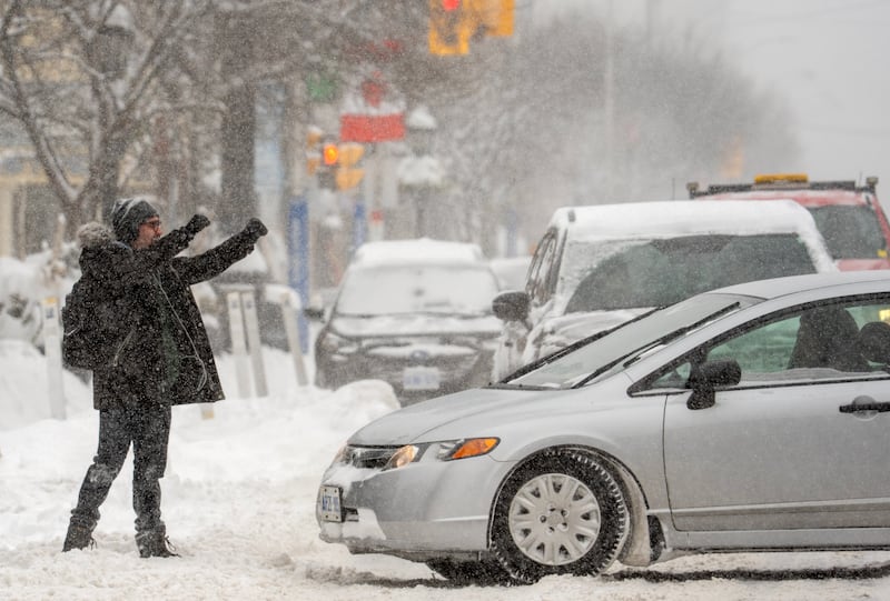
As of Thursday afternoon, there were reports that North Scarborough had already seen about 40 cm of snowfall.
“That is a significant amount of snow for any community but especially the GTA, which is especially vulnerable to high snowfall amounts,” Vaswani added.
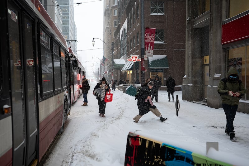
Winter came ‘back with a vengeance’
Municipalities and school boards across the GTA scrambled to prepare for the upcoming storm. Elementary and high schools across the region closed on Thursday, along with daycares, and universities and colleges.
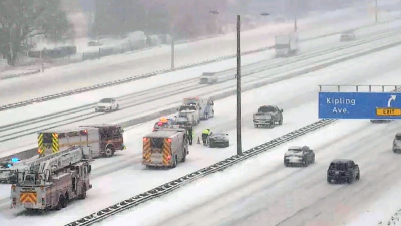
Ontario Provincial Police urged drivers to stay at home if possible, reporting hundreds of crashes over a 24-hour period.
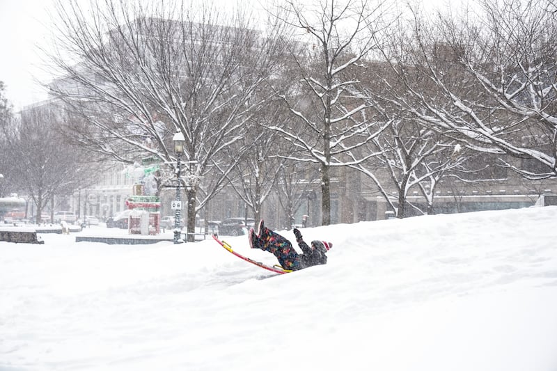
David Phillips, a retired climatologist with Environment Canada, said the storm really came as a shock to people given unseasonably warm weather earlier this month.
“We had that January thaw, all of the snow kind of melted in many of the cities,” he told CP24 on Thursday.
“And then all of a sudden, it came back with a vengeance.”
In a statement, a spokesperson for the City said lessons learned from last winter have helped staff prepare for rapidly changing conditions in Toronto.
“The City has been planning and preparing for major snowstorms, taking lessons from last winter, so we were ready yesterday to activate the Major Snow Event Response Plan (MSERP) and declare a Major Snowstorm Condition and Significant Weather Event,” read a written statement emailed to CP24 on Friday afternoon.
“The MSERP is a new comprehensive, city-wide emergency framework designed to ensure Toronto is better prepared for large-scale snowstorms. We continuously monitor weather forecasts and pavement conditions, and have crews and equipment on standby in strategic locations ready to deploy, including when winter weather changes rapidly.”