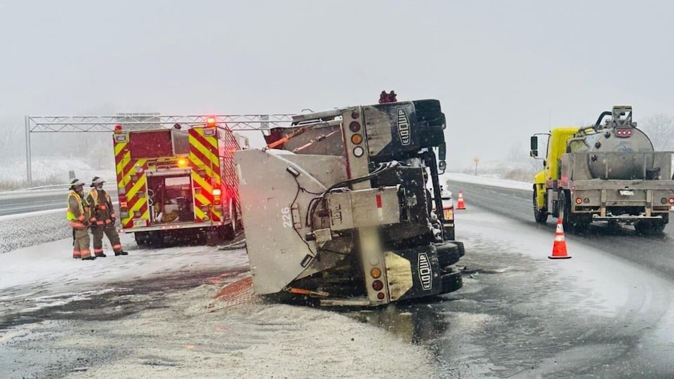
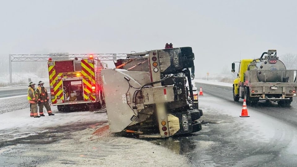
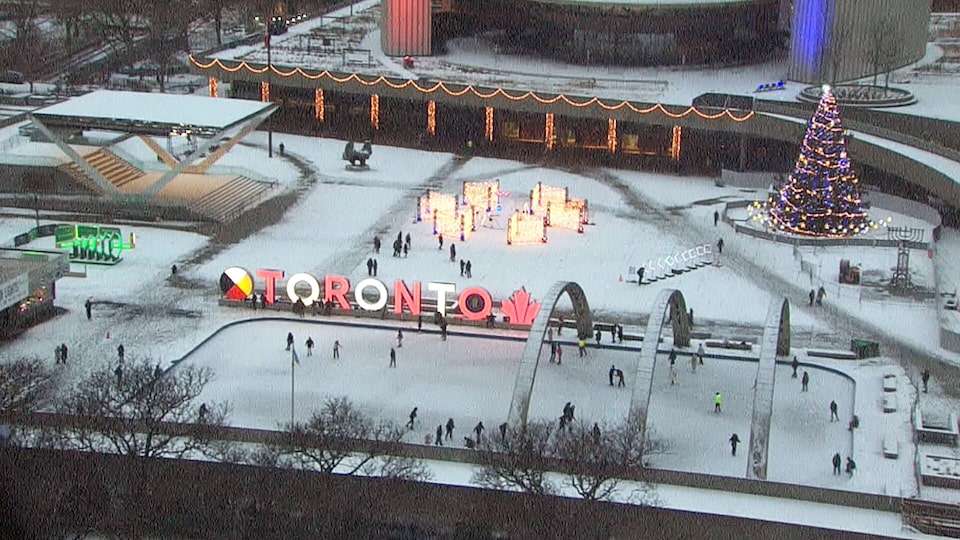
A special weather statement has been issued for Toronto amid back to-back weather systems that could result in up to 10 centimetres of snow by Wednesday.
The advisory was issued on Tuesday afternoon.
Environment Canada says that an Alberta Clipper system “will bring snow across the area which may be heavy at times beginning overnight.”
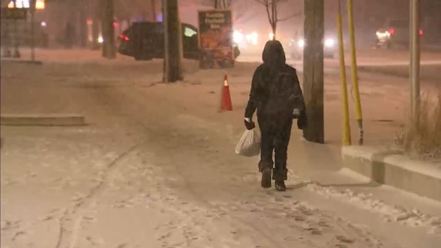
It is warning drivers that travel may become “difficult at times” with the potential for “reduced visibility in heavy snow and blowing snow.”
“Allow extra time to travel,” it says.
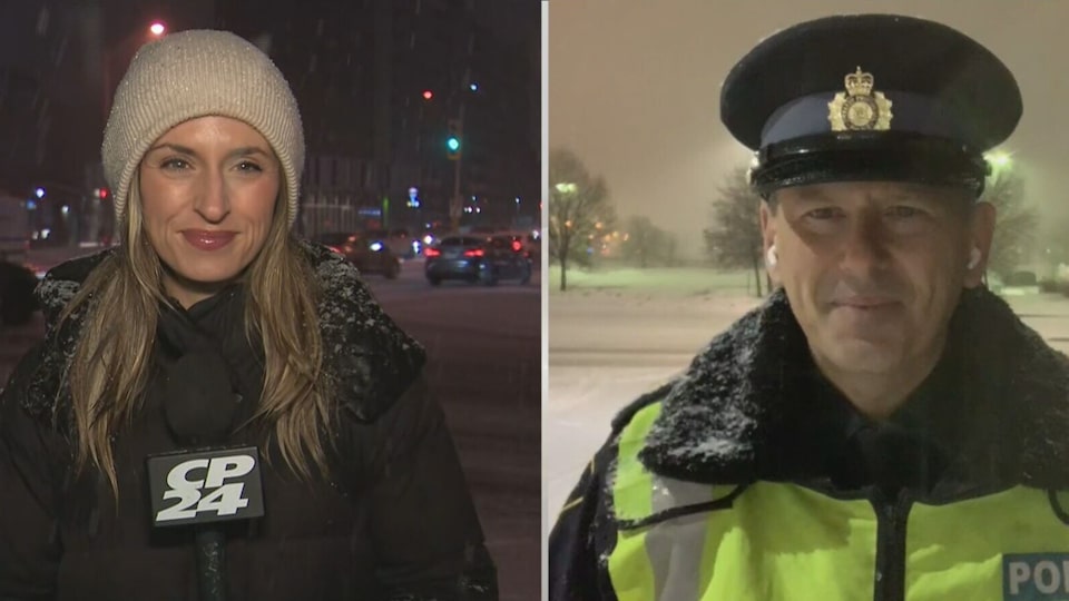
CTV News Toronto Weather Anchor Lyndsay Morrison says that the first of the two systems arrived in the city this afternoon.
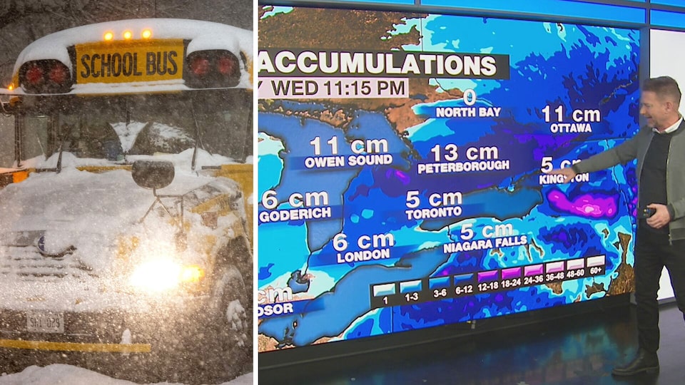
She says that the first system will result in about three centimetres of snow in the City of Toronto with total accumulation elsewhere in the GTA ranging from two to five centimetres.
The snowfall associated with that system is expected to taper off by around 8 p.m. and give way to some lingering flurries but another system will then arrive in the GTA overnight, resulting in an additional 3 centimetres of snow for Toronto.

Morrison says that snowfall totals elsewhere in Ontario could be much higher due to a “little bit of lake enhancement as a result of some gusty winds.”
Kitchener could see 14 centimetres of snow by early Thursday morning while London could get 16 centimetres.
Higher snowfall accumulations are also in the forecast for north of Toronto, with Orillia and Caledon both expected to see a combined 12 centimetres from the back-to-back systems.
“There is a little more rain associated with the second system so by about midday on Wednesday we may be experiencing wet weather as opposed to snow. It might be a little bit of a slushy mess for you,” Morrison said. “The reason for that rain is the temperature is going to rise but it cools right back down by Thursday.”
The City of Toronto says that “salting will begin when snow starts to stick to the pavement, and sidewalk plowing will begin if 2 cm of snow accumulates. ”
City officials are warning residents to travel with “extra caution” on Wednesday “as snowfall is expected during both morning and evening rush hours.”
“Rain is expected during the day but when temperatures drop in the evening and snowfall resumes, the mixture of rain and snow could freeze and create slippery conditions on roads and sidewalks as salting resumes,” a news release issued on Tuesday states.
The temperature is expected to hover around zero today but could feel as cold as -11 with the wind chill.
On Wednesday a high of 2 C is forecast, as the snow gives way to rain in some parts of the GTA.