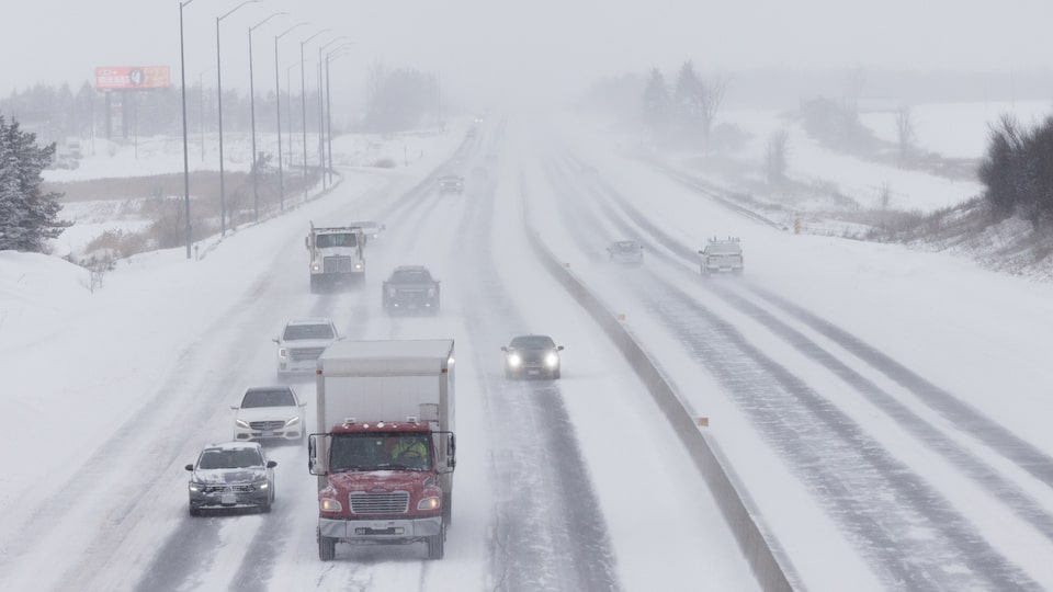
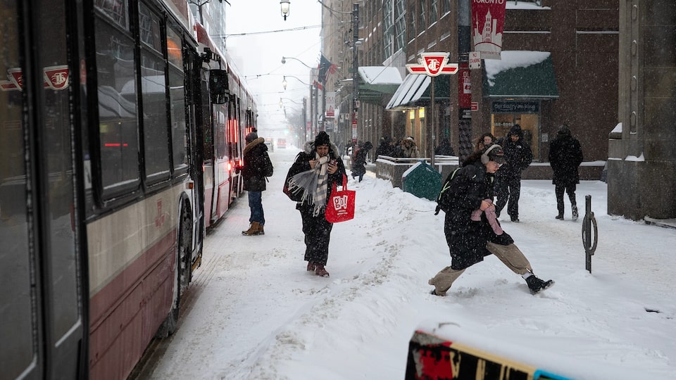
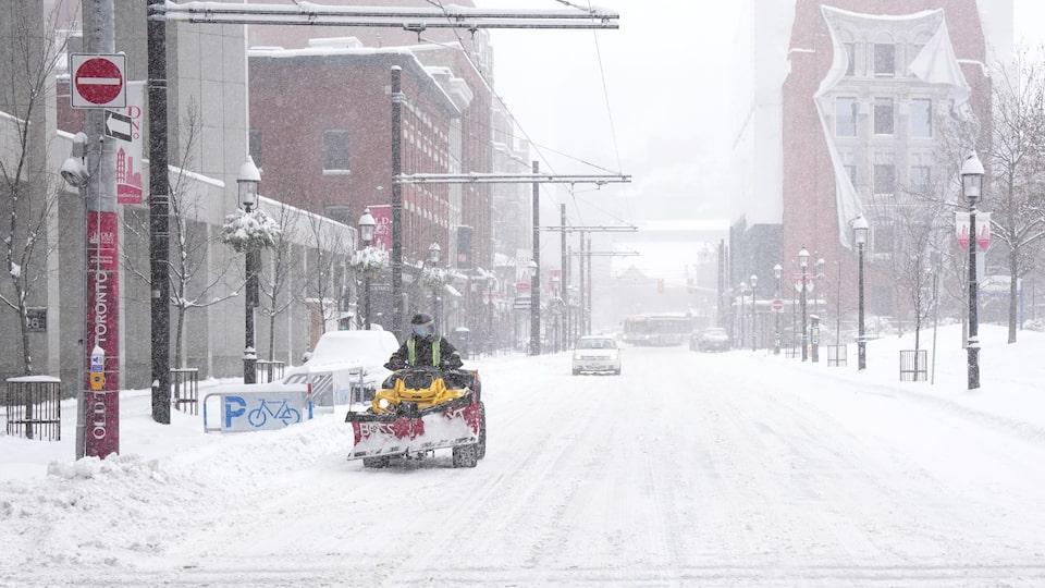
The snow has started to taper off in most parts of the GTA following a major winter storm but Toronto could be in for another blast of winter weather on Friday, according to CTV News Toronto Weather Anchor Lyndsay Morrison.
Morrison says that the GTA is likely to see an additional five to seven centimetres of snow on Friday as another system moves in, with the potential for a few more centimetres over the weekend.
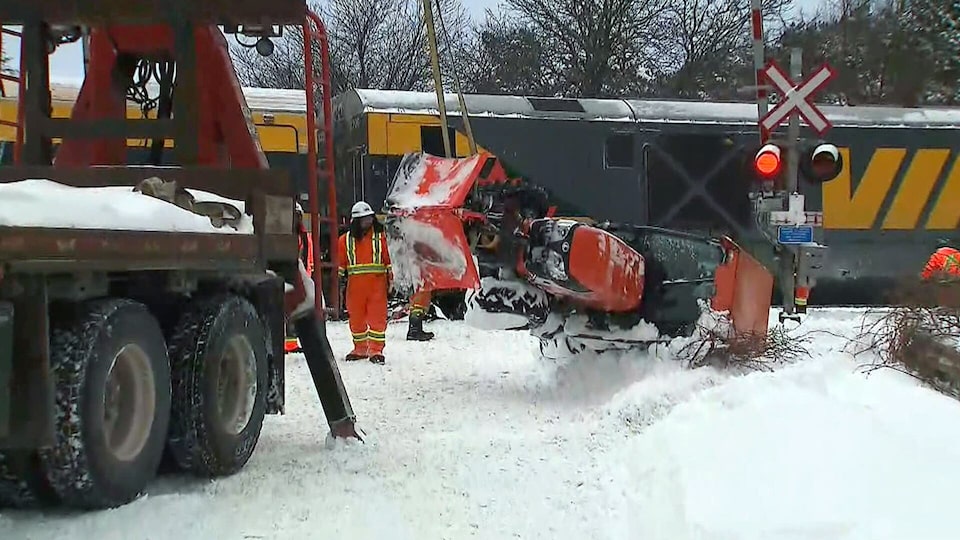
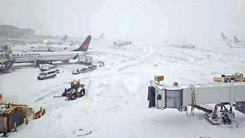
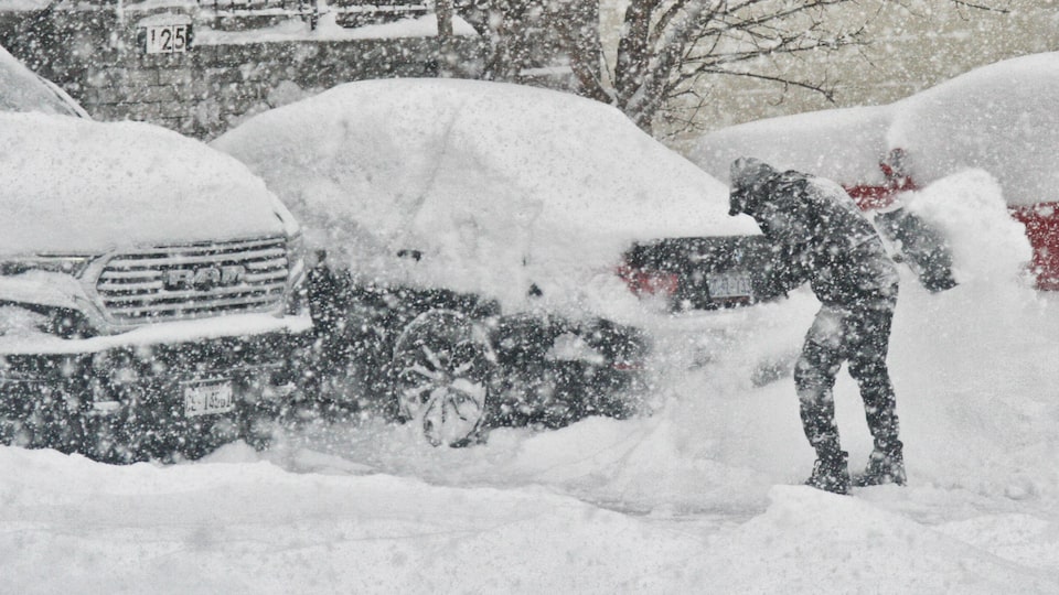
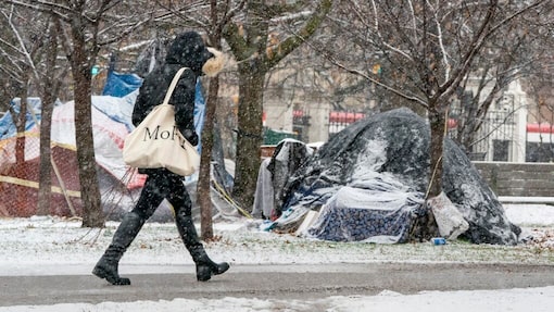
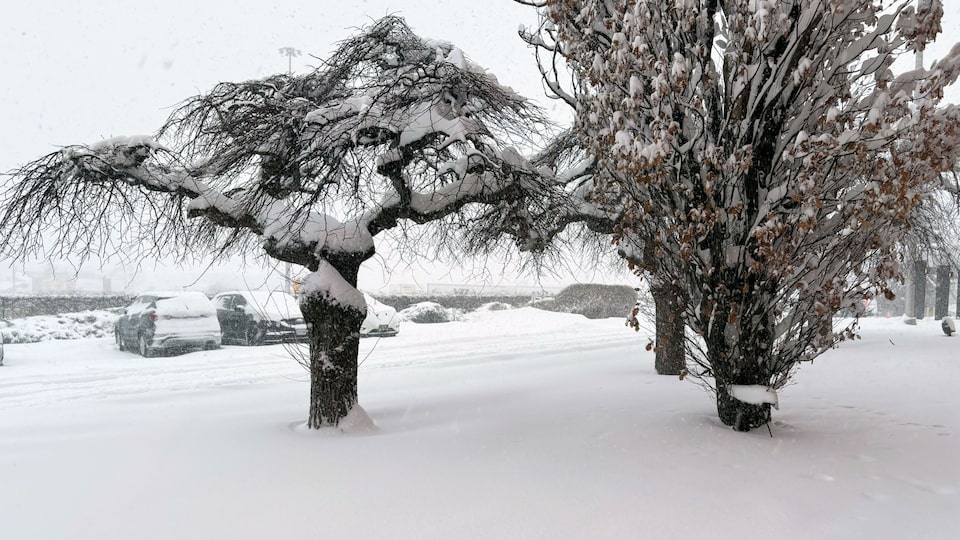
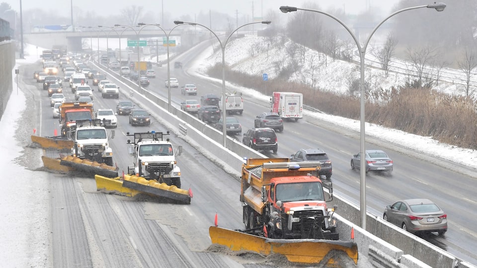
That is on top of the 20 to 40 centimetres of snow that the GTA saw on Thursday.
That storm resulted in widespread school closures and at one point prompted an hours-long closure of the Don Valley Parkway. “Not as impactful as today’s storm but certainly adding to the snowfall amounts out there,” Morrison says.
Thursday’s storm brought the highest snowfall accumulation that Toronto has seen so far this winter and could represent one of the biggest 24-hour snowfall events that the city has experienced in years.
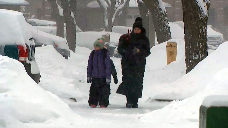
Morrison says that the snowfall on Friday will likely begin in the late morning hours and continue through the afternoon and into the evening hours.
Environment Canada is currently forecasting a 60 per cent chance of flurries on Saturday, a 40 per cent chance of flurries on Sunday and a 60 per cent chance of flurries on Monday, likely adding to the accumulation.
The bitter cold is also expected to continue with Environment Canada forecasting a high of –2 C on Friday but warning that the temperature could feel as cold as –19 due to the wind chill at points.